Palo Alto occupies one of the most distinctive locations in Silicon Valley. The city sits beside Stanford University and between Menlo Park, Los Altos, Mountain View, and the broader Peninsula technology corridor.
What makes Palo Alto particularly interesting from a residential standpoint is how much the living experience changes from one neighborhood to another. Old Palo Alto and Crescent Park contain substantial homes and some of the city's larger residential properties. Professorville and Downtown offer walkability and historic character. Barron Park has a more informal residential environment with varied lots and mature landscaping. Midtown offers a central location, while Palo Alto Hills provides larger parcels, privacy, topography, and convenient access to Interstate 280.
Palo Alto also combines two major commercial districts—Downtown around University Avenue and the California Avenue district—with neighborhood shopping areas, parks, extensive bicycle routes, Caltrain service, major employment centers, and immediate access to Stanford University.
This guide explores Palo Alto's principal neighborhoods, lifestyle, schools, parks, transportation, Stanford connection, architecture, housing character, and the property considerations buyers should understand when comparing different parts of the city.
Looking for current listings, recent home sales, and Palo Alto market statistics? Visit our Palo Alto Homes for Sale & Real Estate Market page.
Palo Alto is located in Santa Clara County on the San Francisco Peninsula, immediately adjacent to Stanford University and south of Menlo Park.
Its residential areas extend from hillside properties near I-280 to neighborhoods bordering San Francisco Bay. Between those two geographic edges are established residential districts, major technology and research employers, two Caltrain stations, commercial centers, neighborhood parks, and extensive bicycle connections.
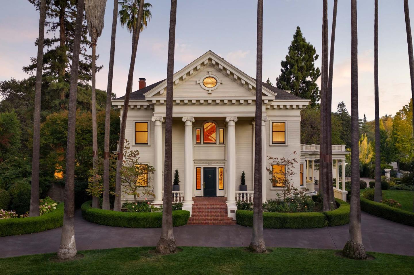
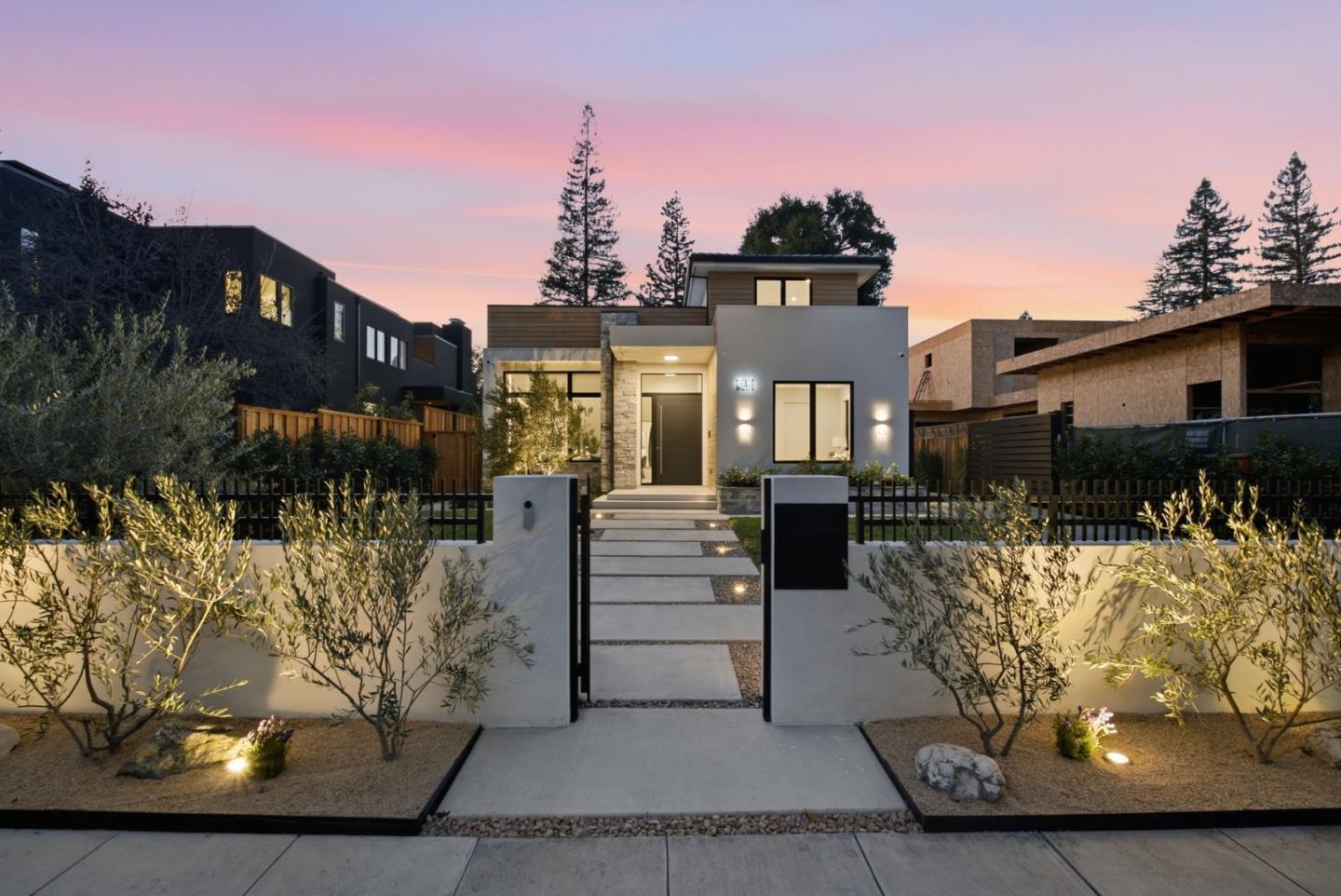
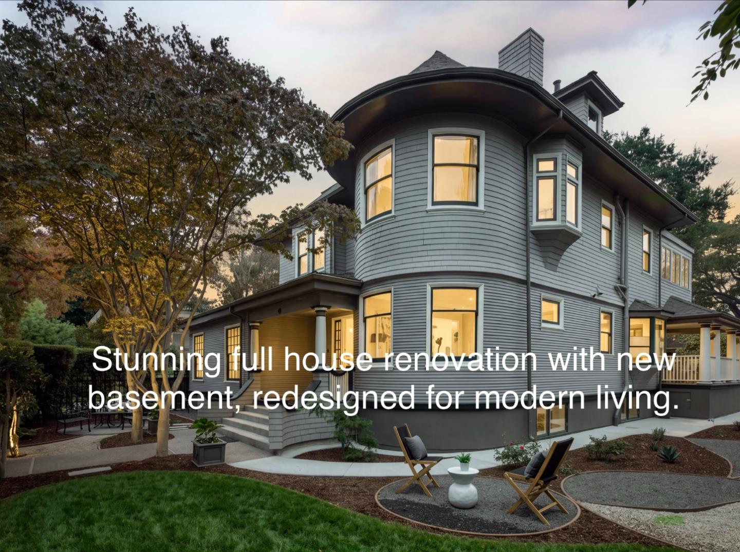
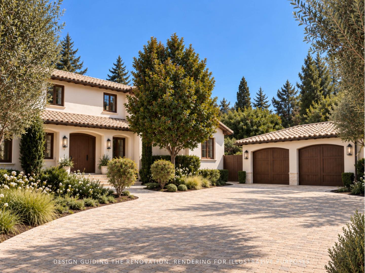
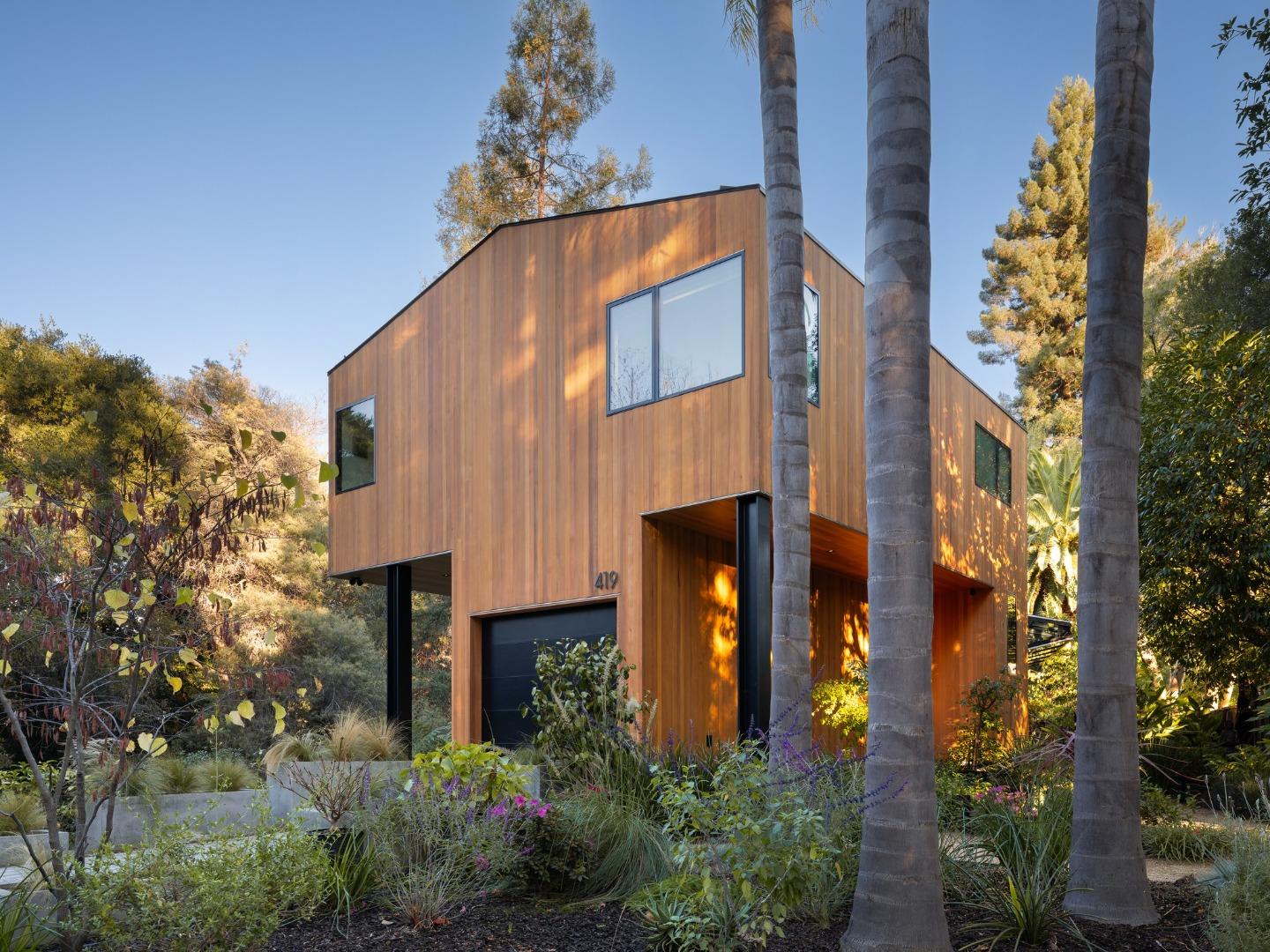
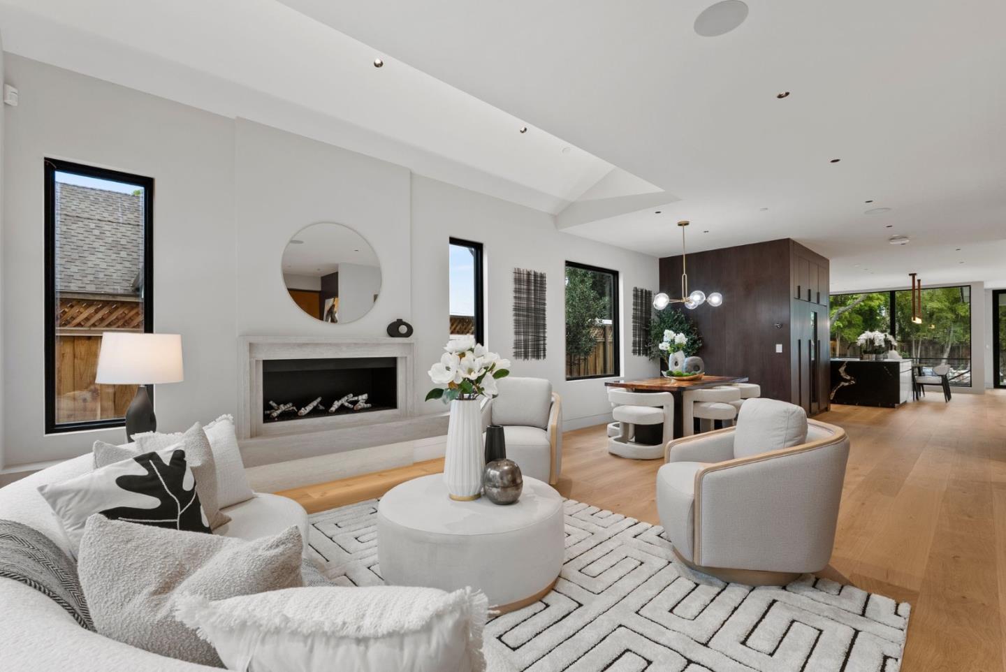
Palo Alto's housing stock is equally varied. Buyers may encounter historic homes, California bungalows, Craftsman residences, Spanish and Mediterranean architecture, ranch homes, mid-century properties, modern construction, townhomes, condominiums, and substantial luxury estates.
Lot sizes also vary significantly. Some properties in Palo Alto Hills, Old Palo Alto, Crescent Park, Barron Park, and other neighborhoods occupy comparatively large parcels, while areas closer to Downtown, Ventura, College Terrace, and other central neighborhoods can contain smaller and more compact lots.
For that reason, Palo Alto should not be treated as one uniform residential market or lifestyle.
Palo Alto contains numerous residential areas with different architecture, lot sizes, walkability, topography, proximity to Stanford, access to commercial districts, and overall neighborhood character.
The following areas provide a practical framework for comparing Palo Alto's principal residential submarkets.
Palo Alto Hills occupies the western edge of Palo Alto near the foothills and Interstate 280. It provides one of the city's most spacious and private residential environments.
Properties often sit on significantly larger lots than homes in central Palo Alto, and some parcels approach or exceed one acre. Custom homes, long driveways, mature landscaping, and hillside or gently sloping terrain are common characteristics.
The location provides convenient access to I-280, Stanford University, Los Altos Hills, and western Peninsula destinations while remaining removed from Palo Alto's denser commercial districts.
Buyers considering Palo Alto Hills should pay particular attention to topography. Slope, drainage, access, retaining structures, trees, and the location of the building envelope can have a meaningful effect on both value and future development potential.
Green Acres is located in southern Palo Alto near the Los Altos border and combines established residential streets with convenient access to schools, parks, and southern Palo Alto shopping areas.
The neighborhood contains a mixture of original homes, remodeled residences, and newer construction. Parcel sizes and home styles vary, creating a broader range of residential choices than the neighborhood name alone might suggest.
Green Acres can appeal to buyers seeking a primarily residential environment with relatively easy access to Los Altos, Mountain View, El Camino Real, and major Silicon Valley employment centers.
Barron Park has one of Palo Alto's most distinctive residential characters. The neighborhood includes mature trees, informal streetscapes, architectural diversity, and substantial variation in lot size and shape.
Some parcels are wider or larger than those found in many central Palo Alto neighborhoods, while others have unusual configurations that reflect the area's development history.
Barron Park is also closely associated with Bol Park and the bicycle and pedestrian routes that connect the neighborhood with surrounding parts of Palo Alto.
Housing ranges from older cottages and ranch homes to extensively remodeled residences and significant new construction.
Because parcel dimensions, easements, trees, access, and existing improvements can vary considerably, individual-property analysis is particularly important when evaluating remodeling or redevelopment potential in Barron Park.
South Palo Alto includes a broad group of established residential neighborhoods near Mountain View and Los Altos.
Housing generally includes ranch-style homes, mid-century properties, remodeled residences, and newer construction. Many streets have a more suburban residential character than Downtown Palo Alto or Professorville.
The area offers convenient access to Charleston Road, San Antonio Road, El Camino Real, US-101, Mountain View, and major technology employers.
Because South Palo Alto covers a relatively broad geographic area, buyers should compare individual streets, schools, parks, lot sizes, and transportation access rather than assuming all properties share the same characteristics.
Midtown occupies a central location within Palo Alto and provides convenient access to both northern and southern parts of the city.
The neighborhood contains a mixture of original homes, remodeled properties, and newer construction. Many lots are moderately sized by Palo Alto standards, although individual parcels vary.
Midtown also has its own neighborhood shopping and services, reducing the need to travel Downtown for every daily errand.
Its central position makes Midtown attractive to buyers who value access to parks, schools, neighborhood shopping, bicycle routes, and multiple employment centers without necessarily needing to live next to University Avenue.
Ventura is located near El Camino Real, Park Boulevard, California Avenue, and the Stanford Research Park area.
Historically, the neighborhood has contained smaller homes and more compact lots than some of Palo Alto's higher-end estate areas, although significant remodeling and redevelopment have changed portions of the housing stock.
Ventura's location is one of its strongest characteristics. Residents can reach California Avenue, Caltrain, Stanford, the Research Park, El Camino Real, and major bicycle routes relatively easily.
The neighborhood has also experienced infill and redevelopment activity, creating an increasingly diverse mix of older homes and newer residential construction.
College Terrace sits immediately adjacent to Stanford University and has one of Palo Alto's strongest geographic connections to the campus.
Residential streets include cottages, Craftsman-style homes, traditional architecture, remodeled properties, and newer construction. Lot sizes vary, but many parcels are relatively compact compared with Old Palo Alto or Palo Alto Hills.
College Terrace offers convenient access to Stanford, California Avenue, Caltrain, El Camino Real, and neighborhood commercial services.
For buyers connected to Stanford or seeking a neighborhood where walking and bicycling can be part of daily life, College Terrace provides a distinctive location.
Old Palo Alto is one of the city's best-known luxury residential neighborhoods.
The area includes mature trees, substantial homes, larger lots in many locations, architecturally significant residences, and custom estates. Its location between Stanford, Midtown, Professorville, and central Palo Alto provides convenient access while preserving a predominantly residential environment.
Architecture ranges from historic homes and traditional estates to extensive renovations and modern luxury construction.
Old Palo Alto is not uniform, however. Lot dimensions, street location, architectural quality, privacy, condition, and redevelopment potential can vary significantly even among nearby properties.
For buyers considering remodeling or new construction, the existing home's placement, trees, setbacks, and neighborhood context can be as important as the overall lot size.
Green Gables is an established residential area east of Midtown and south of Crescent Park.
The neighborhood contains mature streetscapes, older residences, remodeled homes, and newer construction. Properties vary in both lot size and architectural style.
Green Gables offers convenient access to Embarcadero Road, Middlefield Road, schools, parks, Midtown, and northern Palo Alto.
Its central location can appeal to buyers who want a primarily residential setting without being far from Downtown, Midtown, or US-101.
Crescent Park is one of Palo Alto's most recognized luxury residential neighborhoods and occupies the northeastern portion of the city near Menlo Park and Downtown Palo Alto.
The area includes tree-lined streets, substantial homes, larger parcels in many locations, mature landscaping, and a mix of historic and contemporary architecture.
Its proximity to University Avenue and Downtown Palo Alto gives Crescent Park an unusual combination of estate-scale residential properties and access to restaurants, shopping, Caltrain, and city amenities.
Lot size, street location, architectural quality, and privacy can produce significant differences in value from one property to another.
The Community Center area occupies a central location near Rinconada Park, the Palo Alto Art Center, libraries, recreation facilities, and Downtown Palo Alto.
Residential streets contain a variety of older and remodeled homes, traditional architecture, and newer construction.
The location provides relatively convenient access to Downtown, Middlefield Road, Embarcadero Road, parks, schools, and community facilities.
For buyers who value centrality and nearby public amenities, Community Center offers a distinctive alternative to both Downtown living and larger-lot neighborhoods farther west.
Professorville is one of Palo Alto's most historically significant residential neighborhoods.
Its name reflects the neighborhood's early association with Stanford professors, and today the area is known for historic homes, established streets, architectural variety, and proximity to both Stanford and Downtown Palo Alto.
Professorville offers excellent access to University Avenue, Stanford, parks, schools, and Caltrain while retaining a predominantly residential character.
Some properties may have historic or preservation considerations that buyers should investigate before planning major exterior changes or redevelopment.
Because inventory is limited and the neighborhood combines location, history, and walkability, individual properties can be difficult to compare using citywide averages.
Downtown Palo Alto offers one of the city's most walkable residential environments.
University Avenue and surrounding streets provide restaurants, cafés, shopping, professional services, cultural destinations, and access to the Palo Alto Caltrain station.
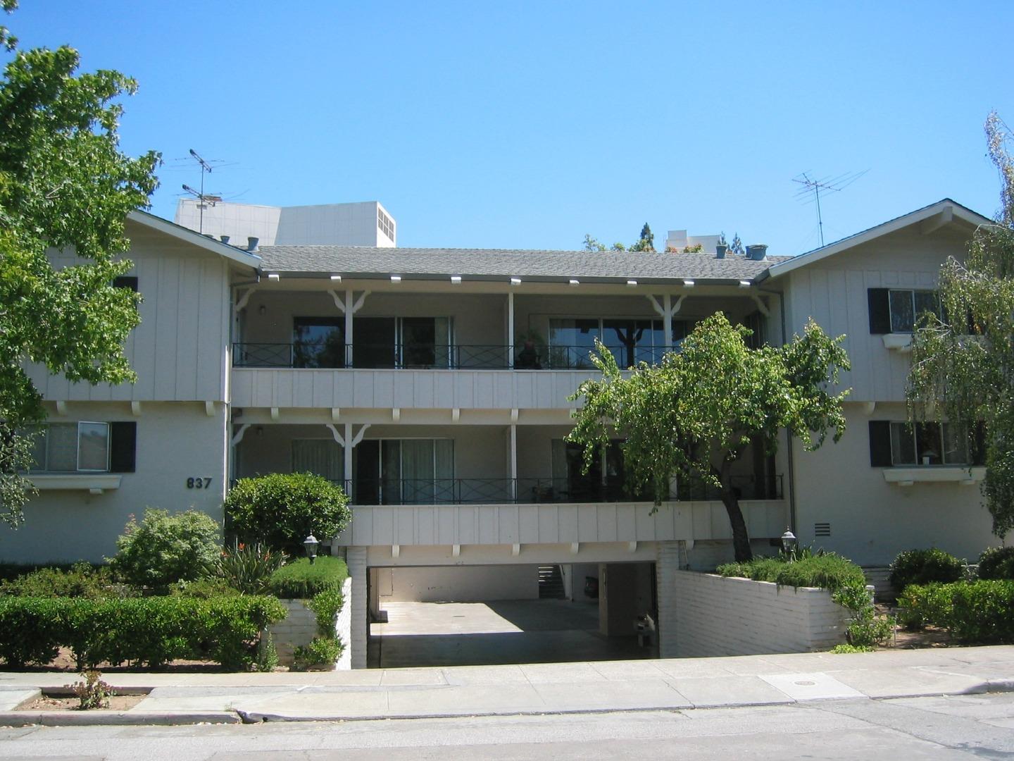
Residential options include detached homes, condominiums, townhomes, apartments, and mixed-use housing.
Buyers who prioritize walking to restaurants, shops, Stanford, and transit may value Downtown very differently from buyers seeking larger lots or greater separation from commercial activity.
Lot sizes for detached homes can also be more compact than in Old Palo Alto, Crescent Park, or Palo Alto Hills.
There is no single Palo Alto lifestyle.
A resident of Downtown or Professorville may walk or bicycle to restaurants, Stanford, Caltrain, and shops. Someone in Palo Alto Hills may prioritize privacy, open space, larger lots, and I-280 access. Barron Park offers an informal, more varied residential environment, while Midtown and South Palo Alto provide established neighborhoods with access to schools, parks, shopping, and employment centers.
This diversity allows buyers to choose among very different residential settings while remaining within the same city.
Stanford University is fundamental to Palo Alto's identity and residential geography.
The university influences the city through education, research, medicine, technology, employment, cultural events, athletics, and housing demand.
Neighborhoods such as College Terrace, Professorville, Old Palo Alto, Downtown Palo Alto, Barron Park, and Palo Alto Hills each provide different forms of access to Stanford.
For some buyers, being able to walk or bicycle to campus is important. Others may prefer a larger residential property with a short drive to Stanford.
Stanford Health Care, Stanford Shopping Center, museums, athletic facilities, lectures, performing arts, and university events also contribute to the broader lifestyle available to Palo Alto residents.
Downtown Palo Alto is centered around University Avenue and forms one of the Peninsula's most active commercial districts.
Restaurants, cafés, shops, professional offices, hotels, and cultural destinations line University Avenue and the surrounding blocks.
The Palo Alto Caltrain station sits at the western edge of downtown near Stanford, giving the district strong regional transit access.
Downtown is particularly convenient for residents of Professorville, Crescent Park, Community Center, and nearby residential areas.
California Avenue forms Palo Alto's second major commercial and neighborhood center.
The district includes restaurants, cafés, shops, services, offices, and access to the California Avenue Caltrain station.
College Terrace, Ventura, Evergreen Park, Mayfield, and nearby residential areas benefit from proximity to California Avenue.
For buyers who want neighborhood-scale commercial activity and transit access but prefer a different environment from Downtown Palo Alto, the California Avenue area can be particularly attractive.
Palo Alto sits within one of the world's most concentrated technology and research employment markets.
The city includes Stanford Research Park and other major employment areas, while Stanford University, Menlo Park, Mountain View, Redwood City, and surrounding Silicon Valley communities provide additional employment destinations.
This creates different commuting advantages depending on neighborhood. Palo Alto Hills offers convenient I-280 access, southern Palo Alto provides relatively direct access toward Mountain View, and neighborhoods closer to US-101 can be useful for eastern Peninsula destinations.
Downtown and California Avenue also provide Caltrain access for regional commuting.
Public-school assignment is an important consideration for many buyers, but school attendance boundaries should always be verified for the individual property.
Neighborhood names, mailing addresses, or proximity to a school should not be used as a substitute for confirming the current attendance area directly with the appropriate school district.
Palo Alto Unified School District serves much of the city, but buyers should verify the specific elementary, middle, and high school assignment for any home they are considering.
School boundaries and enrollment policies can change, so property-specific verification is preferable to relying on older real estate descriptions.
Palo Alto has an unusually broad range of recreational environments, from neighborhood parks and community centers to Baylands open space and foothill preserves.
Rinconada Park is one of Palo Alto's major central recreational areas and is located near the Community Center neighborhood.
The surrounding civic and cultural area includes community facilities, recreation, libraries, arts programs, and other public amenities.
Mitchell Park serves southern Palo Alto and includes substantial recreation and community facilities.
The Mitchell Park Library and Community Center make the area an important gathering place for residents of nearby neighborhoods.
Bol Park is closely associated with Barron Park and forms part of the neighborhood's recreational character.
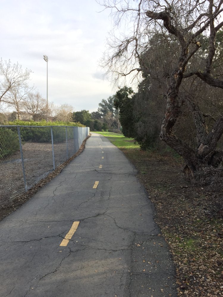
Walking and bicycle connections around Bol Park provide links between residential streets and other parts of Palo Alto.
The Baylands provide one of Palo Alto's largest open-space environments and a dramatic contrast with the city's residential and commercial districts.
Trails, wetlands, wildlife habitat, and Bay views make the area useful for walking, bicycling, nature observation, and outdoor recreation.
Foothills Nature Preserve occupies approximately 1,400 acres in the hills above Palo Alto and includes trails through woodland, grassland, chaparral, and creek environments.
For residents of Palo Alto Hills and western Palo Alto, the preserve represents a particularly significant nearby open-space resource.
Palo Alto also contains numerous smaller neighborhood parks, playgrounds, recreation facilities, libraries, and community centers distributed throughout the city.
Access to these amenities varies by neighborhood, making park location another useful factor when comparing residential areas.
Palo Alto has multiple north-south and east-west transportation options, but commuting patterns vary significantly depending on where a property is located.
Important routes include:
Palo Alto has Caltrain stations serving Downtown Palo Alto and California Avenue.
Rail service provides connections north toward Menlo Park, Redwood City, and San Francisco and south toward Mountain View, Sunnyvale, Santa Clara, and San Jose.
For residents living near Downtown, Professorville, College Terrace, Ventura, and California Avenue, Caltrain can be a meaningful transportation advantage.
Walkability varies significantly by neighborhood.
Downtown, Professorville, College Terrace, and neighborhoods near California Avenue generally offer easier pedestrian access to restaurants, shops, Stanford, or transit than Palo Alto Hills or more suburban residential areas.
Palo Alto also has an extensive bicycle network connecting neighborhoods, schools, Stanford, employment centers, commercial districts, and recreational areas.
Palo Alto provides several distinct shopping and dining environments rather than relying on one commercial center.
Major destinations include:
This variety means that daily convenience can differ significantly by neighborhood.
Palo Alto's housing stock reflects more than a century of residential development.
Buyers may encounter:
The architectural mix differs substantially by neighborhood.
Professorville is particularly associated with older and historically significant homes. Old Palo Alto contains traditional estates, historic residences, and major new construction. Barron Park has greater architectural informality and variety. Midtown and South Palo Alto contain significant ranch and mid-century housing alongside replacement construction.
Palo Alto's lot sizes vary widely.
Palo Alto Hills can include parcels approaching or exceeding one acre. Old Palo Alto and Crescent Park contain many substantial lots, while Barron Park includes both conventional and unusually shaped parcels. Midtown, Downtown, Ventura, College Terrace, and other areas often have more compact properties.
But acreage or square footage alone does not determine the usefulness or value of a lot.
Important considerations include:
Buyers considering a property for significant expansion or redevelopment should evaluate these factors before assigning value to future construction potential.
For current market and property-development analysis, visit our Palo Alto Homes for Sale & Real Estate Market page.
Palo Alto contains historically and architecturally significant homes, particularly in older neighborhoods such as Professorville and portions of Downtown and central Palo Alto.
Buyers considering major alterations to an older property should investigate whether the home or site has historic status or whether preservation-related requirements may affect exterior changes, demolition, or redevelopment.
Historic character can contribute positively to a property's appeal, but it can also introduce considerations that are less relevant to newer homes.
Palo Alto offers an unusually broad range of residential environments within one city.
It may appeal particularly to buyers looking for:
A buyer who wants to walk to University Avenue may focus on Downtown, Professorville, or nearby neighborhoods. Someone seeking a larger property may prefer Old Palo Alto, Crescent Park, Barron Park, or Palo Alto Hills. Buyers prioritizing southern Peninsula employment may consider Midtown, Green Acres, or South Palo Alto.
That diversity is one of Palo Alto's defining residential characteristics.
Yes. Palo Alto is located in the heart of Silicon Valley beside Stanford University and near Menlo Park, Mountain View, Los Altos, major technology employers, research facilities, and venture-capital centers.
Major residential areas include Palo Alto Hills, Green Acres, Barron Park, South Palo Alto, Midtown, Ventura, College Terrace, Old Palo Alto, Green Gables, Crescent Park, Community Center, Professorville, and Downtown Palo Alto.
College Terrace, Professorville, Old Palo Alto, Downtown Palo Alto, Barron Park, and portions of Palo Alto Hills provide relatively convenient Stanford access. Actual walking, bicycling, or driving time varies by property and the destination on campus.
Downtown Palo Alto, Professorville, College Terrace, and neighborhoods near California Avenue generally provide some of the strongest pedestrian access to shops, restaurants, transit, and Stanford.
Both are prominent luxury residential neighborhoods, but they have different geography and character. Old Palo Alto lies closer to Stanford and central Palo Alto, while Crescent Park sits closer to Downtown Palo Alto and Menlo Park. Both contain substantial homes and larger lots, but architecture, street patterns, and individual parcel characteristics vary.
Professorville is known for historic residential architecture, early ties to Stanford faculty, proximity to Stanford and Downtown Palo Alto, tree-lined streets, and limited housing inventory.
Yes. Downtown Palo Alto is centered around University Avenue and includes restaurants, cafés, shops, professional services, hotels, cultural destinations, and a major Caltrain station.
California Avenue is Palo Alto's second major commercial district. It includes restaurants, cafés, shops, offices, services, and a Caltrain station and serves nearby neighborhoods such as College Terrace, Ventura, and Evergreen Park.
Major recreational areas include Rinconada Park, Mitchell Park, Bol Park, the Palo Alto Baylands, Foothills Nature Preserve, and numerous neighborhood parks and recreation facilities.
Yes. Palo Alto has Caltrain stations serving Downtown Palo Alto and California Avenue, providing regional rail connections north and south along the Peninsula.
No. Palo Alto neighborhoods vary substantially in lot size, architecture, housing type, walkability, proximity to Stanford, topography, development potential, and price.
A property in Palo Alto Hills or Old Palo Alto can be fundamentally different from a home in Ventura, Midtown, or Downtown, even though all are located within the same city.
Buyers should consider neighborhood character, lot size, school assignment, Stanford access, transportation, walkability, housing style, parks, shopping, redevelopment potential, and the characteristics of the individual street and property.
Choosing a Palo Alto neighborhood requires more than comparing home prices. Lot size, architecture, Stanford proximity, walkability, school assignment, topography, development potential, and the character of individual streets can all influence which area is the best fit for a buyer.
For current listings, recent sales, monthly market statistics, luxury transactions, neighborhood-level pricing, and Milad Real Estate's latest Palo Alto market analysis, visit:
Palo Alto Homes for Sale & Real Estate Market
Milad Real Estate focuses on Palo Alto, Menlo Park, Atherton, and surrounding Silicon Valley communities. Whether you are comparing neighborhoods, evaluating an older property for remodeling, considering new construction, or preparing a Palo Alto home for sale, the analysis should begin with the individual neighborhood and property rather than citywide averages alone.
67,237 people live in Living in Palo Alto: Neighborhood & Community Guide, where the median age is 43.6 and the average individual income is $123,939. Data provided by the U.S. Census Bureau.
Total Population
Median Age
Population Density Population Density This is the number of people per square mile in a neighborhood.
Average individual Income
There's plenty to do around Living in Palo Alto: Neighborhood & Community Guide, including shopping, dining, nightlife, parks, and more. Data provided by Walk Score and Yelp.
Explore popular things to do in the area, including Little Sky Kitchen, The Kibler Elf, and dosa by DOSA.
| Name | Category | Distance | Reviews |
Ratings by
Yelp
|
|---|---|---|---|---|
| Dining | 0.95 miles | 0 reviews | 0/5 stars | |
| Dining | 1.17 miles | 22 reviews | 4.5/5 stars | |
| Dining | 1.56 miles | 0 reviews | 0/5 stars | |
| Dining | 1.62 miles | 0 reviews | 0/5 stars | |
| Active | 0.66 miles | 4 reviews | 2.8/5 stars | |
| Active | 0.68 miles | 1 review | 3/5 stars | |
| Active | 1.56 miles | 0 reviews | 0/5 stars | |
| Active | 1.68 miles | 67 reviews | 4.1/5 stars | |
| Beauty | 1.59 miles | 14 reviews | 4.4/5 stars | |
| Beauty | 1.69 miles | 58 reviews | 3.7/5 stars | |
|
|
||||
|
|
||||
|
|
||||
|
|
||||
|
|
||||
|
|
Living in Palo Alto: Neighborhood & Community Guide has 26,021 households, with an average household size of 2.56. Data provided by the U.S. Census Bureau. Here’s what the people living in Living in Palo Alto: Neighborhood & Community Guide do for work — and how long it takes them to get there. Data provided by the U.S. Census Bureau. 67,237 people call Living in Palo Alto: Neighborhood & Community Guide home. The population density is 2,796 and the largest age group is Data provided by the U.S. Census Bureau.
Total Population
Population Density Population Density This is the number of people per square mile in a neighborhood.
Median Age
Men vs Women
Population by Age Group
0-9 Years
10-17 Years
18-24 Years
25-64 Years
65-74 Years
75+ Years
Education Level
Total Households
Average Household Size
Average individual Income
Households with Children
With Children:
Without Children:
Marital Status
Blue vs White Collar Workers
Blue Collar:
White Collar: